Overview
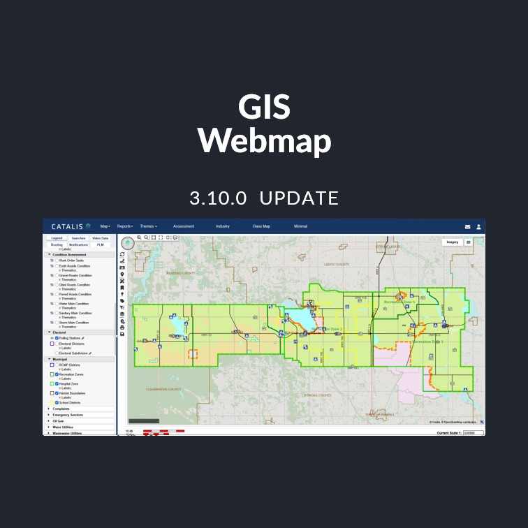
This release adds an embeddable, map-only page so public maps can be shown directly on your own website, and a new Related Assets tab in map popups. It also resolves issues with document links, imagery layers, and spray inspections in weed management.
Release Details
- Product Name: GIS Webmap
- Category: Standard Release
- Release Version: v3.10.0
- Release Date: Coming soon!
- Summary: Embed public maps on your website, view child assets from a facility’s popup, and a set of fixes for document viewing, imagery layers, and weed management.
New Features
Embeddable Public Map A new map-only page can be embedded in an iframe on your own website. Public visitors see the map without a login prompt, legend, or toolbar, and can pan, zoom, and click features to view their details.
Related Assets Tab in Map Popups Clicking a feature that has child assets, such as a building or facility, now shows a Related Assets tab listing those assets, including vertical (non-spatial) assets.
Bug Fixes
- Document Links: “View document” links in data management that opened a PDF now display the document correctly instead of returning an error.
- Imagery Layers: Imagery layers turned on while outside their visible scale range now display once you zoom into range.
- Weed Management Inspections: Spray inspections are no longer treated as the latest inspection for a case, so weed management reports and actions/notices reflect the correct inspection.