GIS Webmap

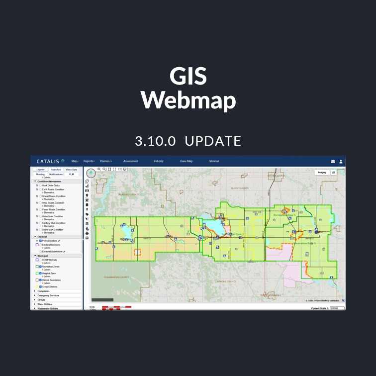
GIS Webmap – Release Notes 3.10.0

Overview This release adds an embeddable, map-only page so public maps can be shown directly on your own website, and a new Related Assets tab in map popups. It also resolves issues with document links, imagery layers, and spray inspections in weed management. Release Details New Features Embeddable Public Map A new map-only page can …
GIS Webmap – Release Notes 3.10.0 Read More »

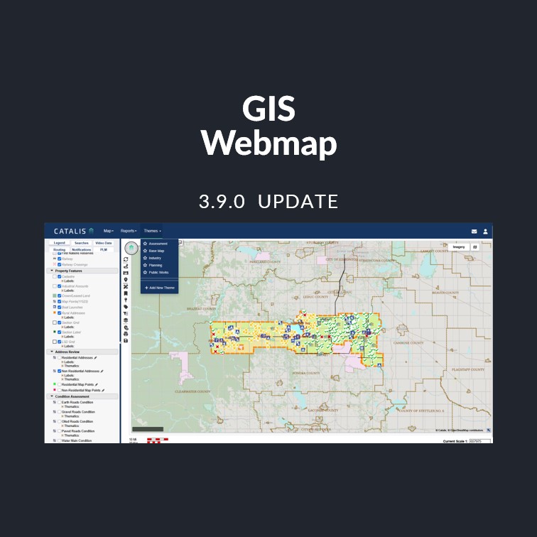
GIS Webmap Release: Version 3.9.0

Overview This release adds client-configurable spray application units, enables users to open multiple information windows for data comparison, improves the reliability of personal map themes, speeds up initial map load, and fixes several reporting and data-entry issues. Release Details New Features Configurable Spray Application UnitsAdministrators can now configure spray application rate and sprayed area units …

GIS Webmap Release: Version 3.9.0 Read More »

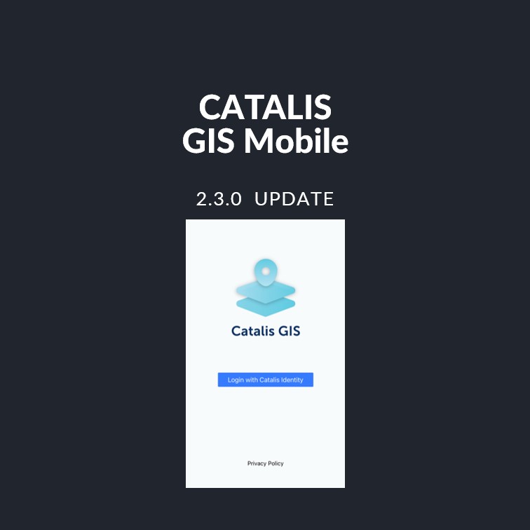
Catalis GIS Mobile Release: Version 2.3.0

Overview This release covers a broad set of reliability, display, and offline-sync improvements to Catalis GIS Mobile (formerly MuniSight Mobile) across iOS and Android, with a heavy focus on bringing Android up to par with iOS as the app moves out of beta. iOS is releasing first; Android follows. Release Details Experience Improvements Weed Inspection …

Catalis GIS Mobile Release: Version 2.3.0 Read More »

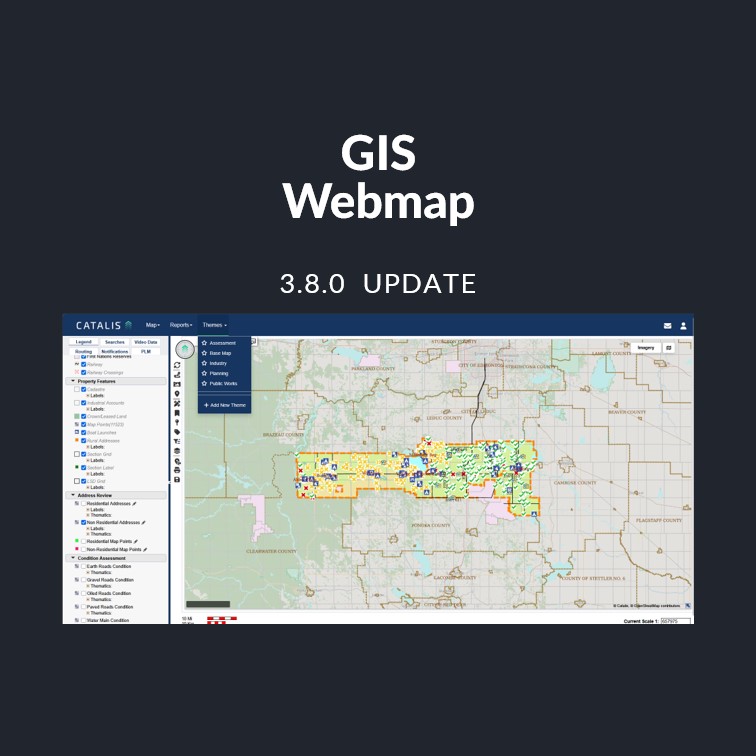
GIS Webmap Release: New User Interface – Version 3.8.0

New User Interface The GIS Webmap has received a comprehensive visual refresh, delivering a cleaner, more modern look and feel across the entire application — from the login page through to the map view, user management, and reporting areas. Please see changes below. Highlights Updated IconographyAll toolbar and navigation icons have been replaced with modern, …

GIS Webmap Release: New User Interface – Version 3.8.0 Read More »

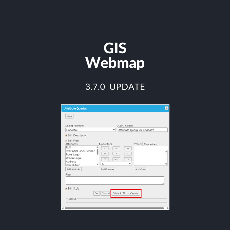
GIS Webmap Release: Spatial Exports – Version 3.7.0

Spatial Exports Webmap previously supported attribute-only exports through queries and specialized searches, but municipalities frequently need full spatial data to share with consultants and partner organizations for planning, infrastructure, and environmental work. To support these use cases and improve self-service, this release introduces the ability to export spatial data directly from Webmap. New “View in …

GIS Webmap Release: Spatial Exports – Version 3.7.0 Read More »

GIS Webmap Release: Performance – Version 3.6.0

Performance Improvements (Coming Soon) Webmap just got faster. As clients continue adding more data layers and integrations, performance becomes even more important. Our team identified that the legend was refreshing too often, which slowed down maps with complex datasets. The latest update streamlines how the legend and layers load, improving overall responsiveness and making navigation …

GIS Webmap Release: Performance – Version 3.6.0 Read More »

Scroll to Top