New ESRI Integration
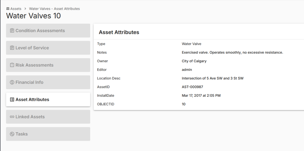
We are introducing a new ESRI integration for Infrastructure Management that allows you to use ArcGIS Online spatial data directly within your asset management workflows, while maintaining ESRI as the single source of truth for spatial assets.

How the Integration Works
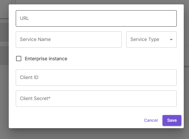
Connection Setup
- Infrastructure Management connects securely to ArcGIS Online using a Feature Service
- Once configured, spatial asset data (geometry and attributes) is consumed from the ESRI service.
Direction of Integration
- This is a one-way integration where asset data flows from ArcGIS Online into Infrastructure Management.
- ESRI remains the authoritative source of truth, and any updates made in ArcGIS Online automatically sync into Infrastructure Management.
Asset Type Mapping
- Asset types in Infrastructure Management can be linked to ESRI feature layers.
- Spatial layers are created and managed in ArcGIS Online, then mapped to corresponding asset types to ensure alignment between systems.
Automated Asset Data Sync
Introduced automated syncing to keep asset data up to date with ArcGIS Online, reducing manual updates and improving consistency