Spatial Exports
Webmap previously supported attribute-only exports through queries and specialized searches, but municipalities frequently need full spatial data to share with consultants and partner organizations for planning, infrastructure, and environmental work. To support these use cases and improve self-service, this release introduces the ability to export spatial data directly from Webmap.
New “View in Data Viewer” Button
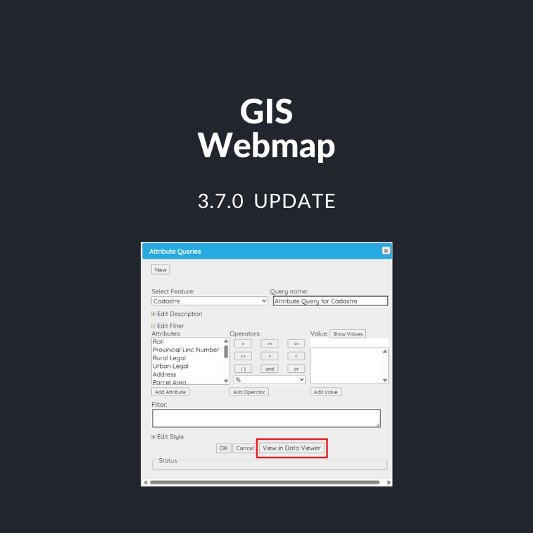
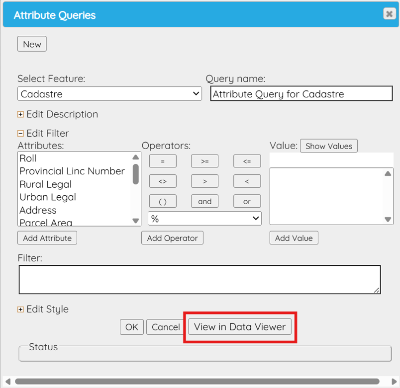
- A new “View in Data Viewer” button will be available in the attribute queries section.
- Permissions to the new data viewer are based on the existing user and feature permissions to attribute queries feature. Users will attribute features permissions will have access to the button.
- When the “View in Data Viewer” button option is selected a new data viewer will open in another tab for the selected feature.
New Data Viewer
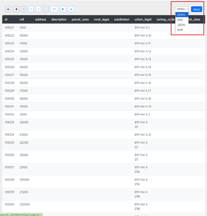
- Users can view full attribute information for the selected feature.
- Users can export spatial data in GeoPackage, GML, GeoJSON, or Shapefile formats.
- Exports include geometry and attribute data.
- Provides ready-to-use datasets for external GIS systems.
- Update currently scheduled for before the year end.
Other Projects: Webmap API Updates
Webmap API
- Our Webmap API uses a Web Feature Service (WFS) to deliver layers, geometry, and attributes directly to third-party GIS tools.
- Clients have requested more flexibility and functionality from the API, and this release addresses those needs.
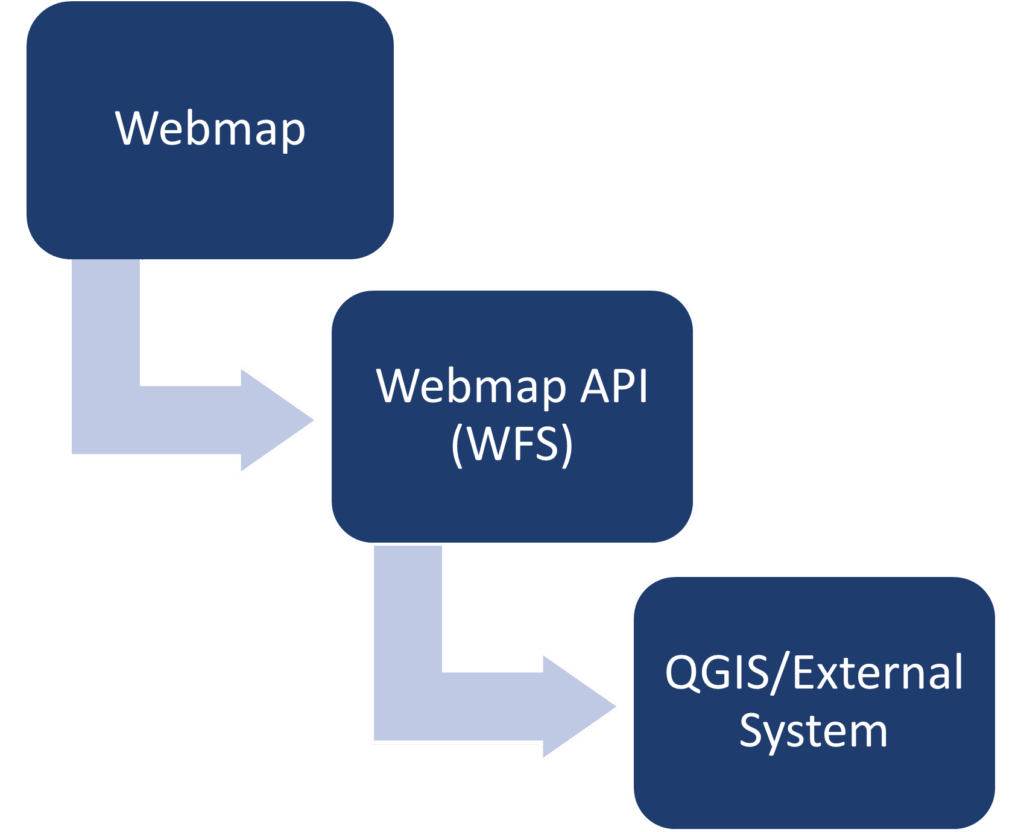
What’s New
- API is now flexible (no more hard-coded layers).
- API access available on request
- Supports direct connections from QGIS and other GIS tools.
- Added ability to filter returned data